
Oxford’s Global Networks, Bodleian Library May-August 2023
A traveller to Elizabethan Oxford would, much like today, encounter medieval chapels, wood-panelled dining halls, and ink-stained books. They would also find tobacco pipes, maps, multilingual dictionaries, even an Aztec codex – objects that brought the diverse knowledge and craftsmanship of other peoples into libraries and private chambers. At the printer Joseph Barnes’ shop in St Mary’s Passage, students and townspeople could pick up John Smith’s Map of Virginia (1612) and read accounts of the travels of Walter Raleigh to South America, or of Thomas Roe to India.
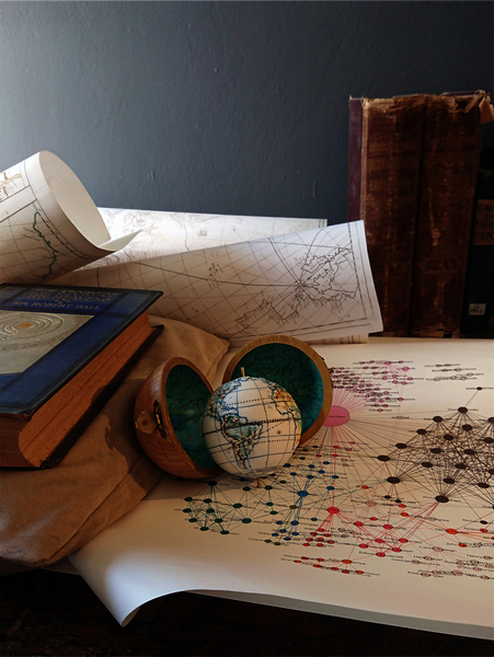
Curated by Nandini Das, Lauren Working, and Emily Stevenson in collaboration with the artist Loraine Rutt, the exhibition ‘Oxford’s Global Networks’ ran at the Weston Library between May - August 2023. It showcased some of Oxford’s connections to global travel in the late sixteenth and early seventeenth centuries. From geographies to student plays, these sources reveal various ways that individuals thought about the world and their place within it in an age of trade and colonial expansion. They were displayed alongside artworks that illuminate the materials in new ways. Each piece was designed to set up a dialogue between the present and the past, exploring how maps influence our sense of place, belonging and identity. These miniature porcelain globes, and domestic scale vessels seek hidden narratives and invite discussion. The soft porcelain sheets of clay, hand-shaped and inflated by breath to resemble sails, echo with the sounds of the sea when held to the ear. Regarded in this way, they become listening vessels, receptacles for the voices of the unheard.